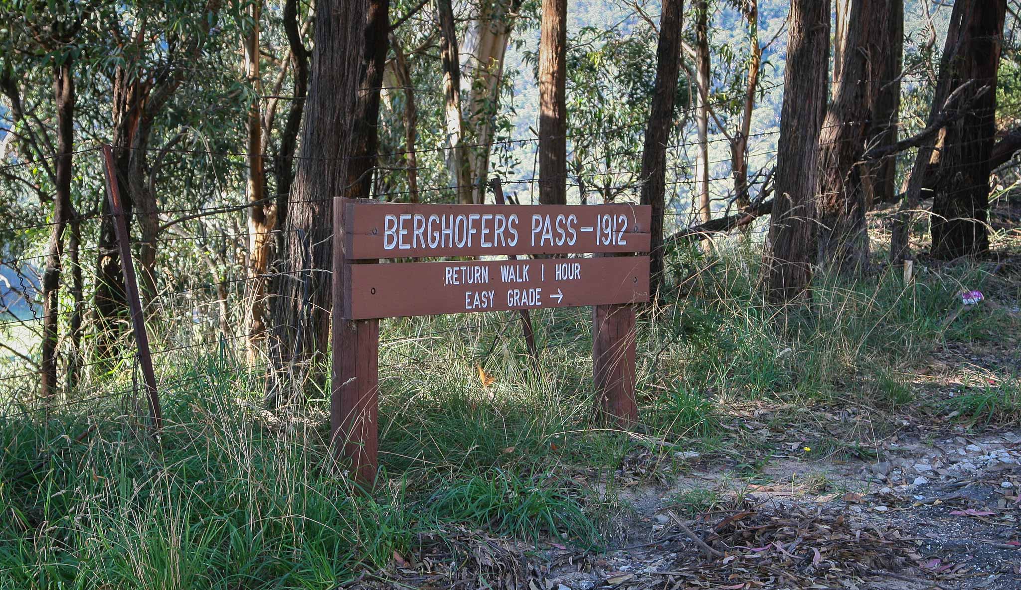
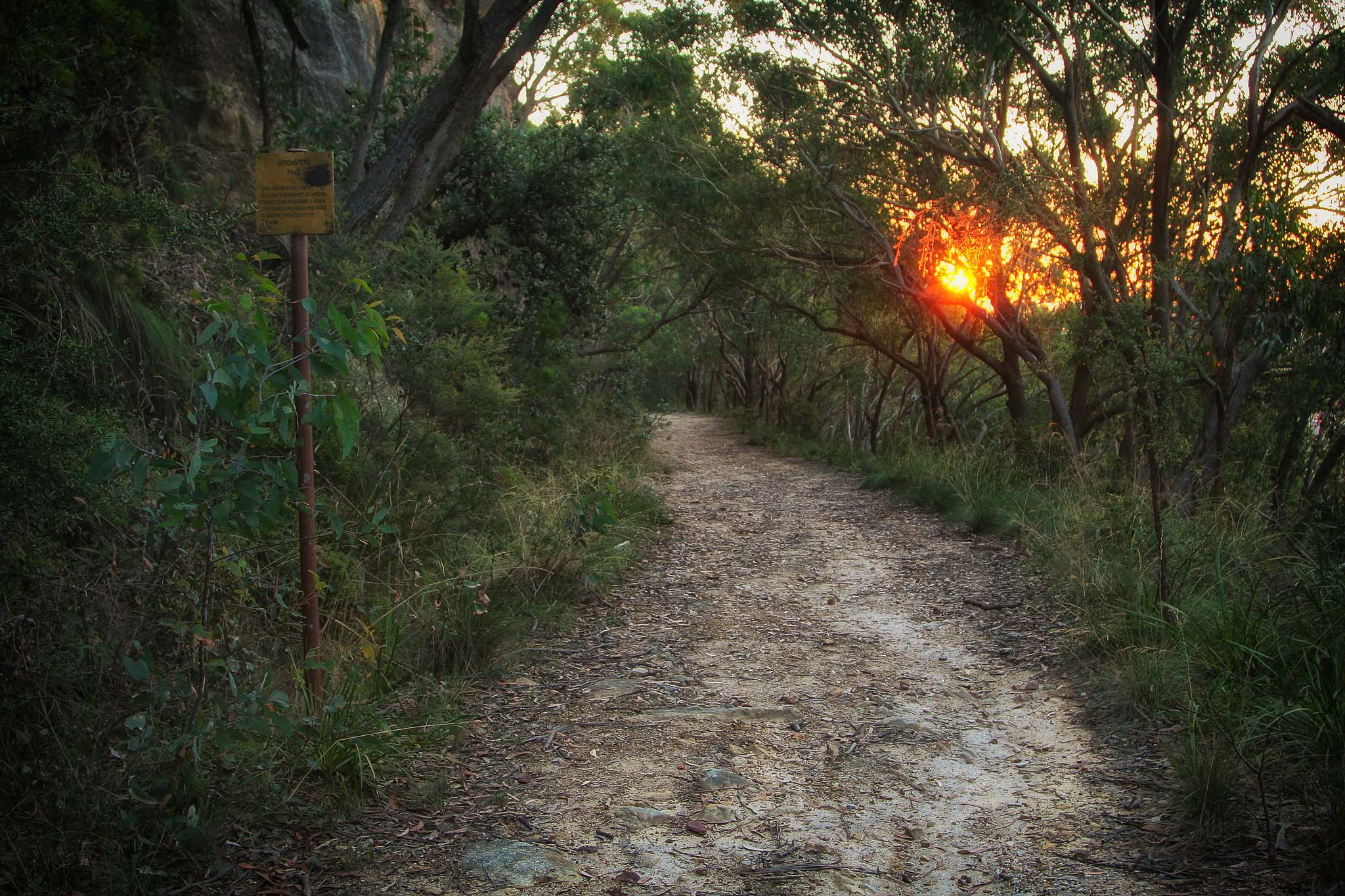
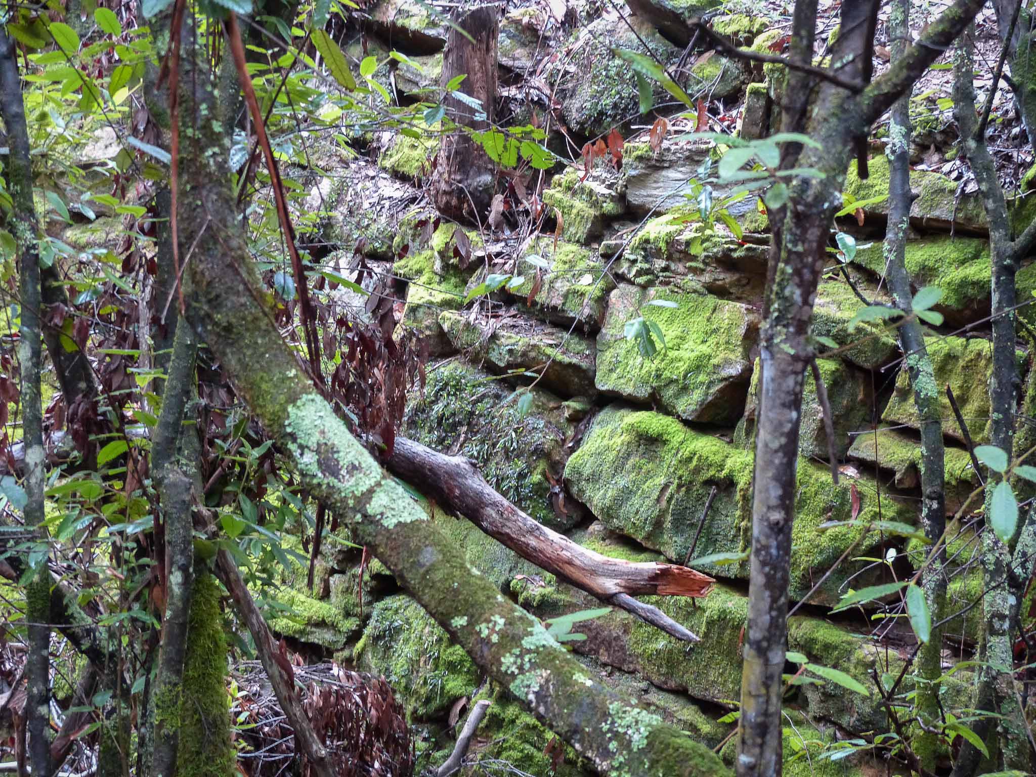
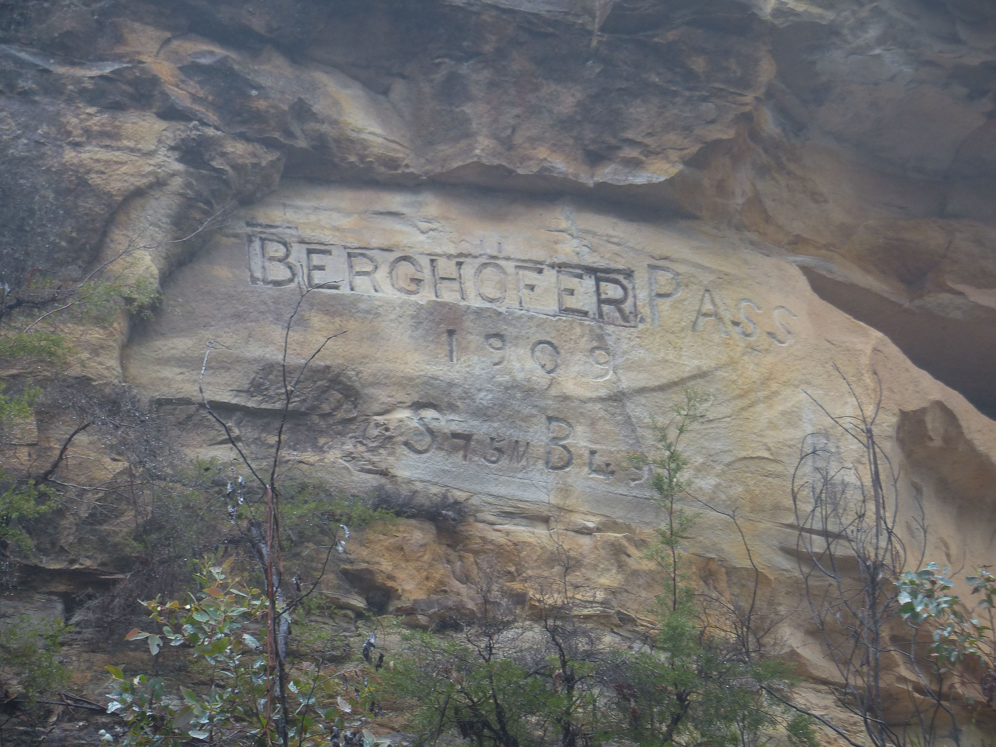
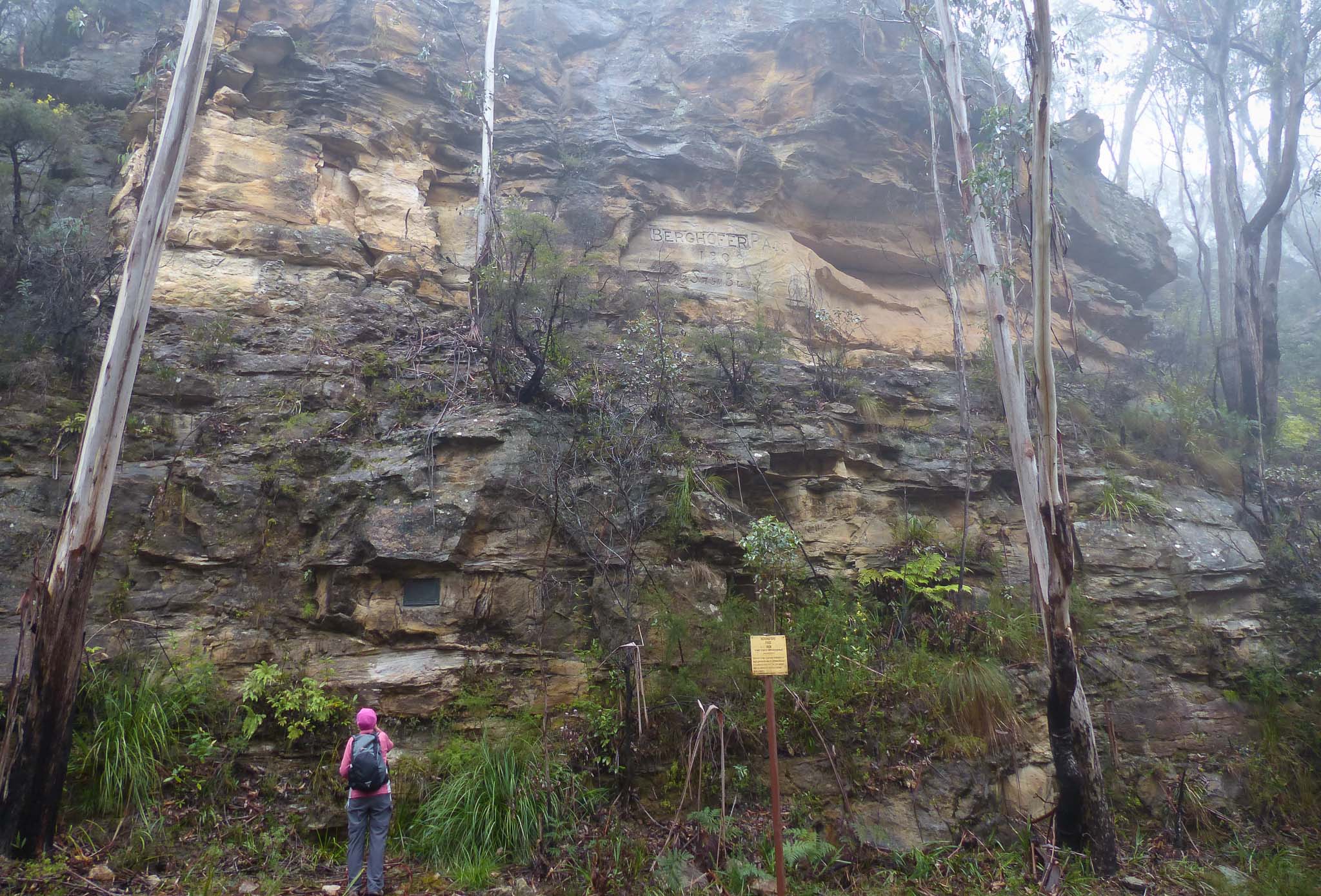
Berghofers Pass
Early motor vehicles could not cope with the steep grades on Mitchells Victoria Pass. Berghofer's Pass was built as an alternative route.
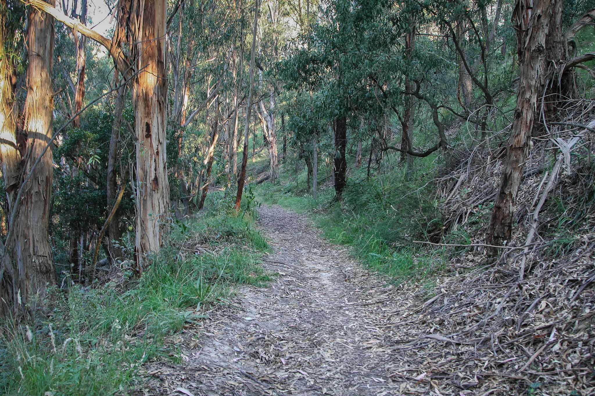
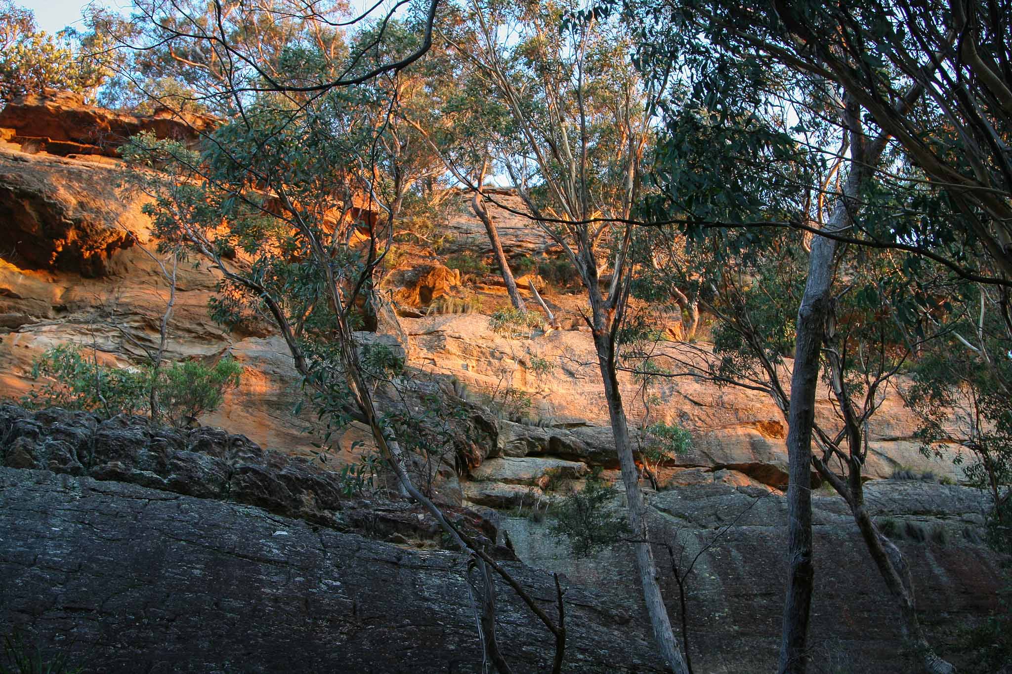
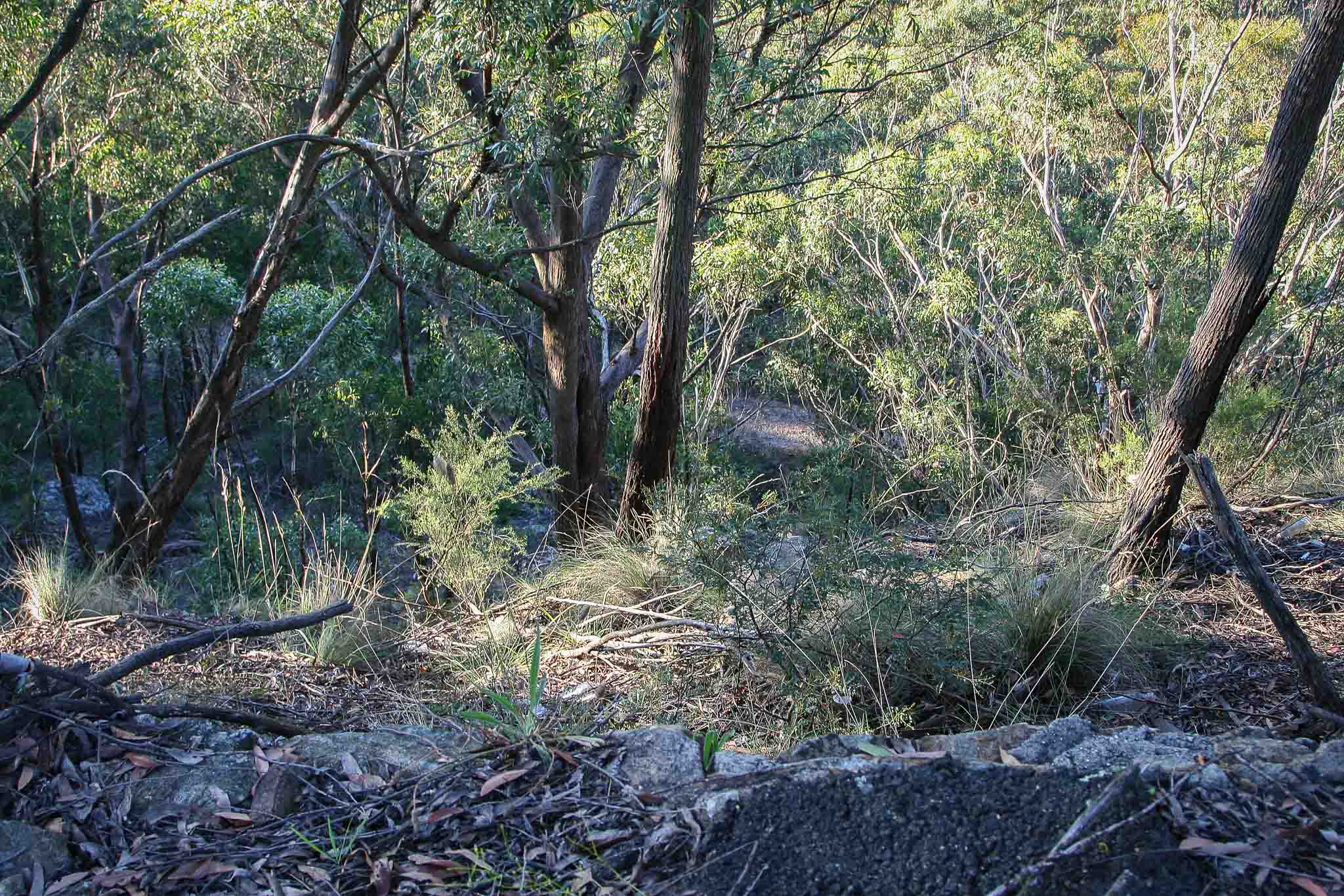
The route starts on the Great Western Highway at GR 425 808 and gradually winds its way around the edge of the mountain until it intersects the Mt York Road at GR 438 814.
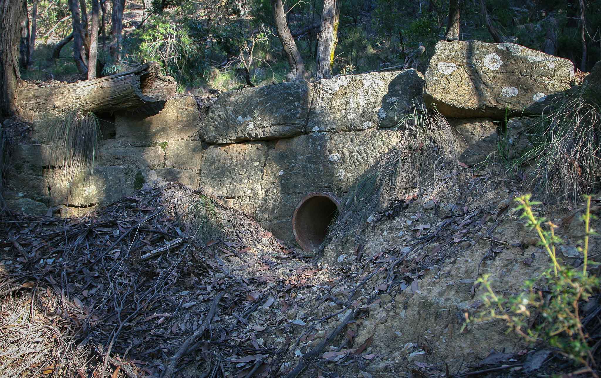
Work started on Berghofer's Pass in 1907. The route was opened in 1912 and it was the only route used until newer motor vehicles were developed that could handle the steeper grades on Victoria Pass.
Victoria Pass was reopened in 1920 and both routes were used until Berghofer's Pass was closed in 1934.
Hartley 8930-4N
425 808 - 438 814
915 - 1025 metres
Road
Hartley
Cook

Last Updated: 03-05-2019