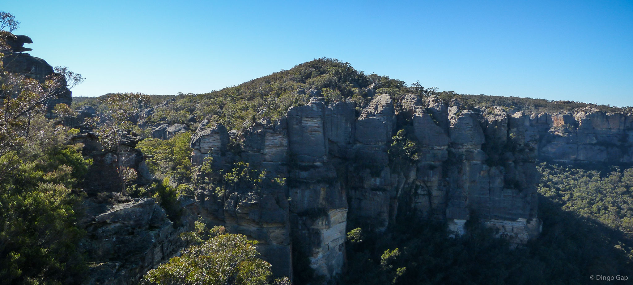
Home
Search Dingo Gap

Map: Ben Bullen 89314S

GR: 316 201

Comments:

Mt Davidson is a high point on the Wolgan Capertee Divide, 500 metres south east of The Pondage, 1,600 metres north east of McLeans Pass and 600 metres south west of Blue Rock Gap.

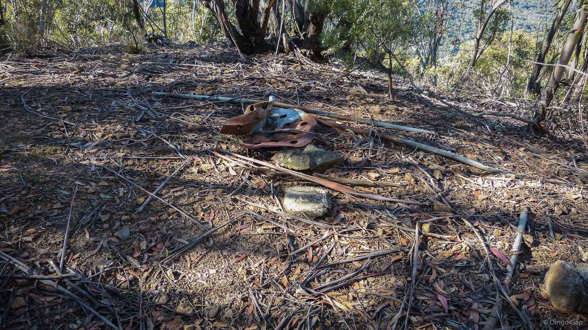
The remains of Wolgan Trig are located on Mt Davidson.

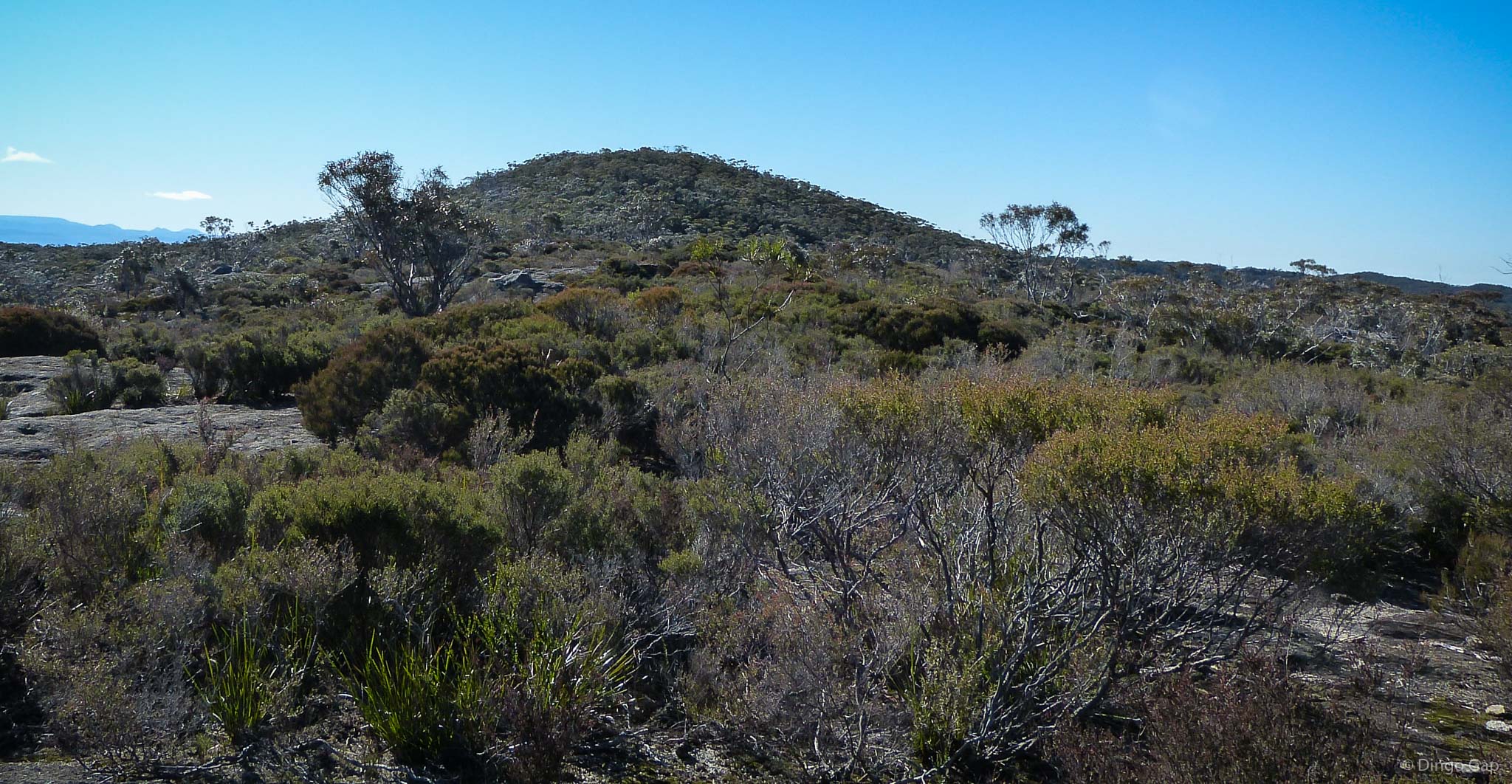
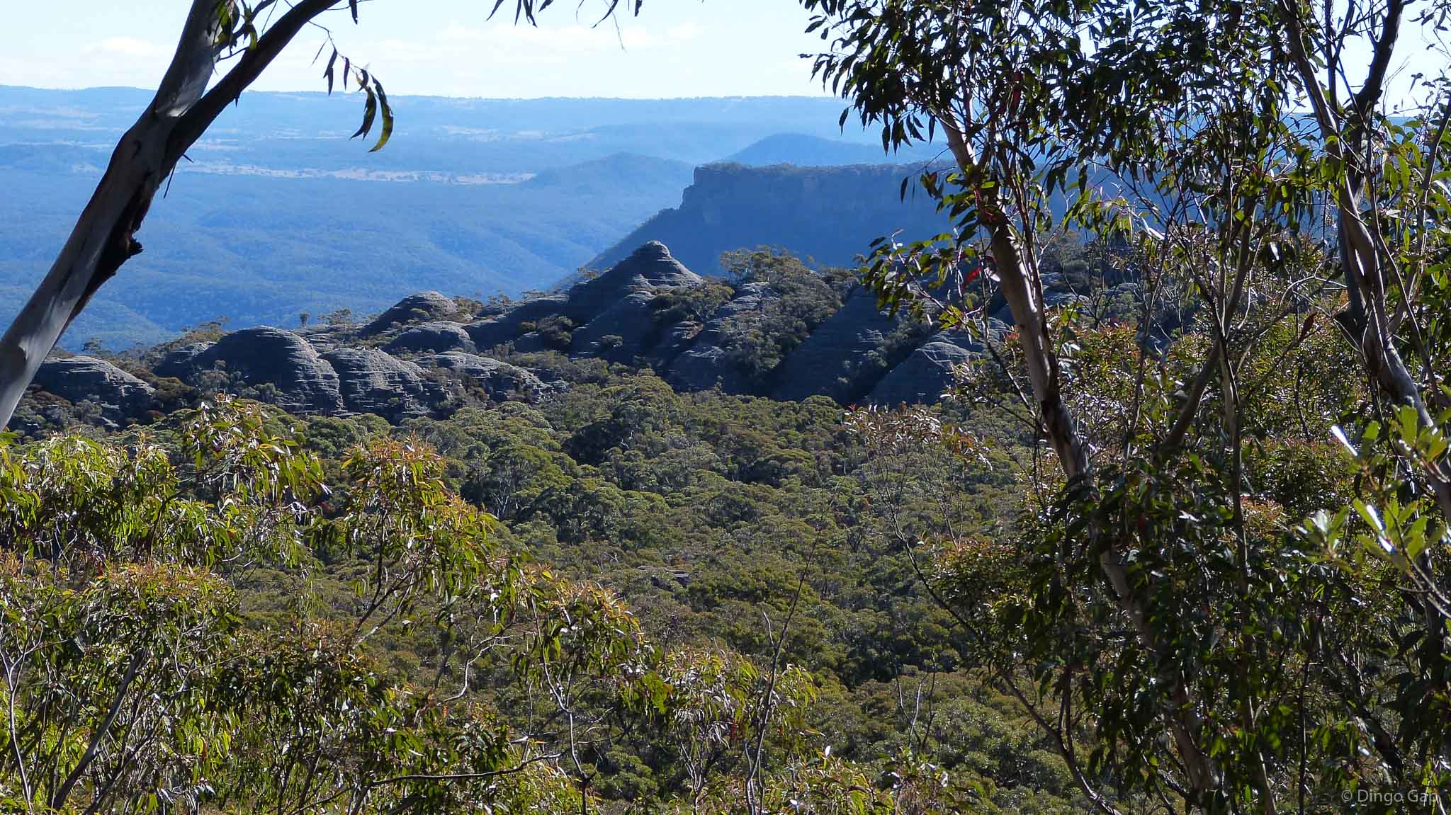
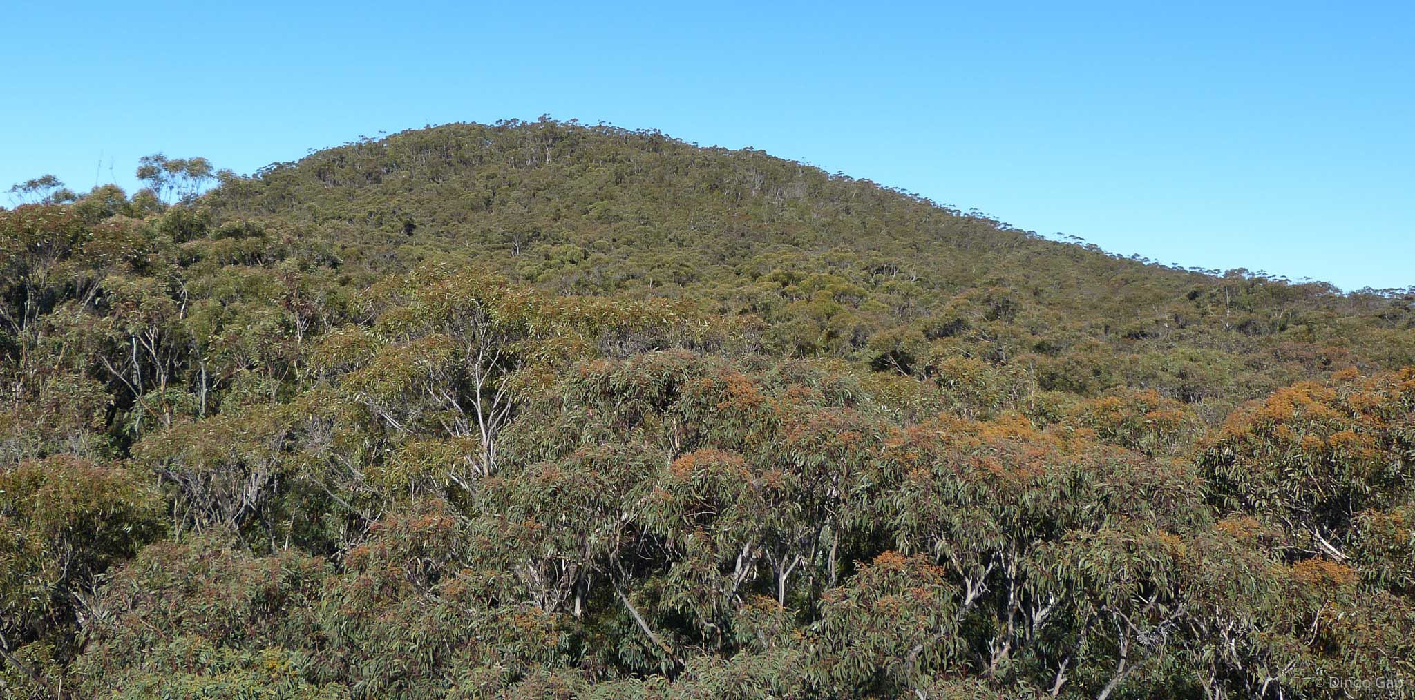
Even though forest has regrown around the Trig there are still good views through the trees.

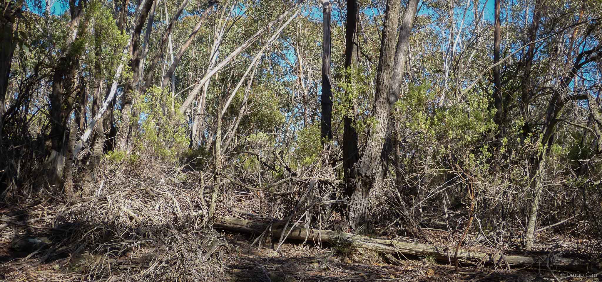
It is easy walking across Mt Davidson.  There is very little heath or thick bush.

Mt Davidson


Recently Added
01/05/2013 Stilwell Trig
29/12/2012 Dargan Arch
26/12/2012 Spire Head
17/11/2012 Protect Gardens of Stone
03/11/2012 Orchid Heaven
29/10/2012 Orange Blossom Orchid
21/10/2012 Mumbedah Falls
15/10/2012 Rock Warblers
03/10/2012 The Totem Pole
18/09/2012 Focus Stack Images
18/09/2012 Wollemi Hand Stencils
10/09/2012 Wollemi Traverse Photos
30/08/2012 Wollemi Traverse
03/07/2012 Mt Clarence Stencils
03/07/2012 Ten Tunnel Funicular
01/07/2012 Pagoda Supported By Bricks
01/07/2012 Mt Clarence
01/07/2012 Ten Tunnel Railway Deviation
30/06/2012 Clarence Arch
27/06/2012 Mt Davidson

Recently Updated
01/05/2013 Guide Books
01/05/2013 Trig Stations
01/05/2013 Ironpot Mtn Pots and Grooves
01/05/2013 Axe Grinding Grooves
04/11/2012 Waterfalls
21/09/2012 Wollemi Traverse Information
20/09/2012 Wollemi Traverse
15/09/2012 Wollemi Traverse Photos
03/07/2012 Dunns Swamp Stencils
03/07/2012 Genowlan Mountain Stencils

Subscribe
  Dingo Gap Gallery

Share

Images and Text are Copyright © 2007 - 2013 by Dingo Gap Gallery.  All rights reserved.