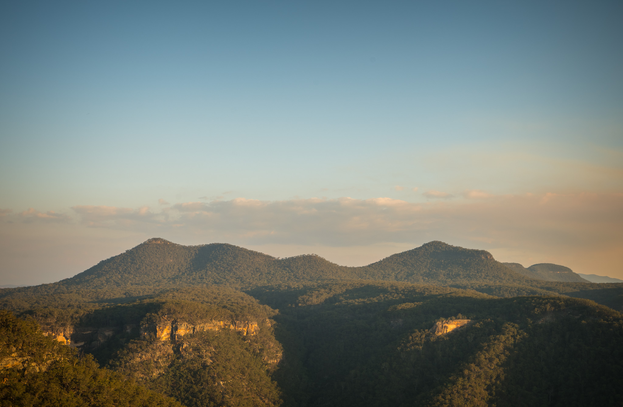
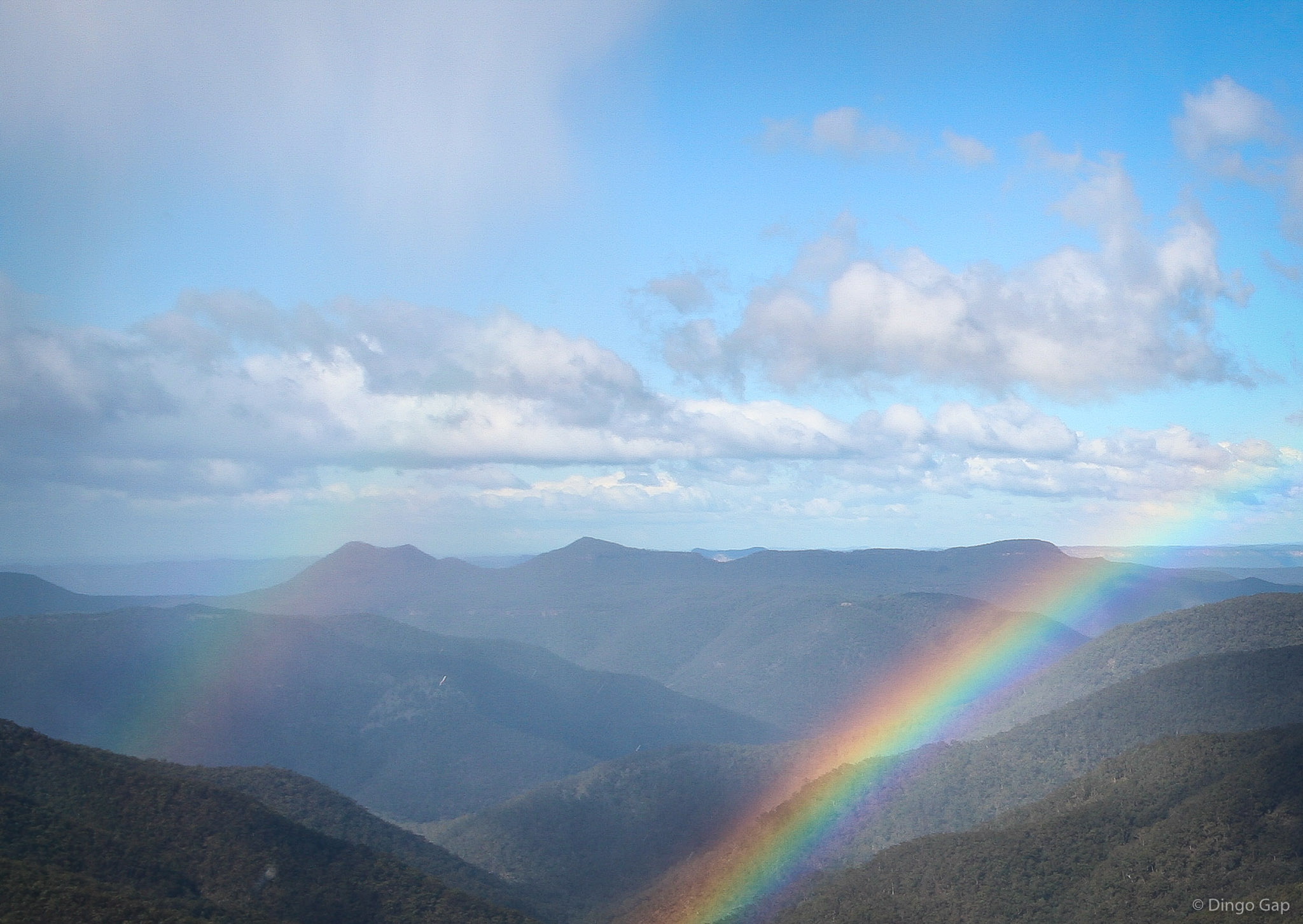
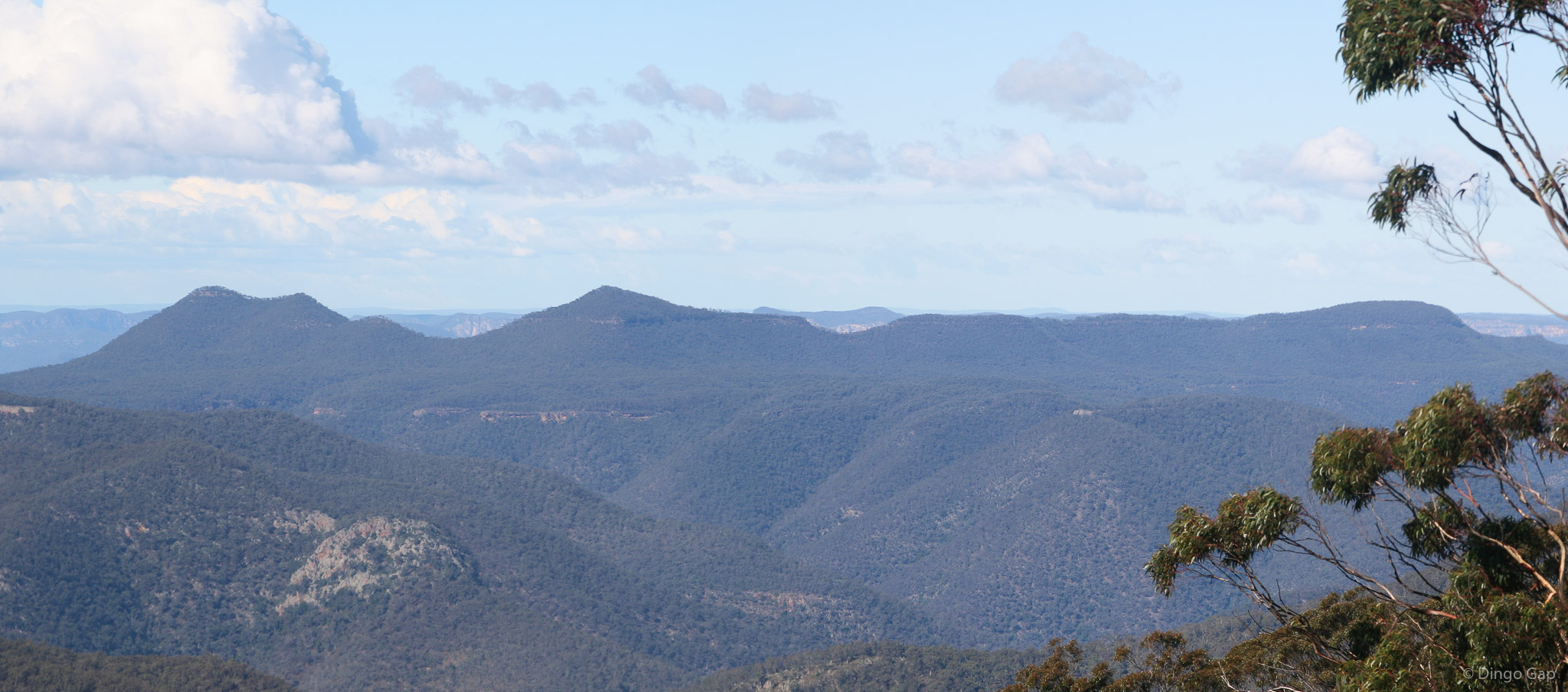
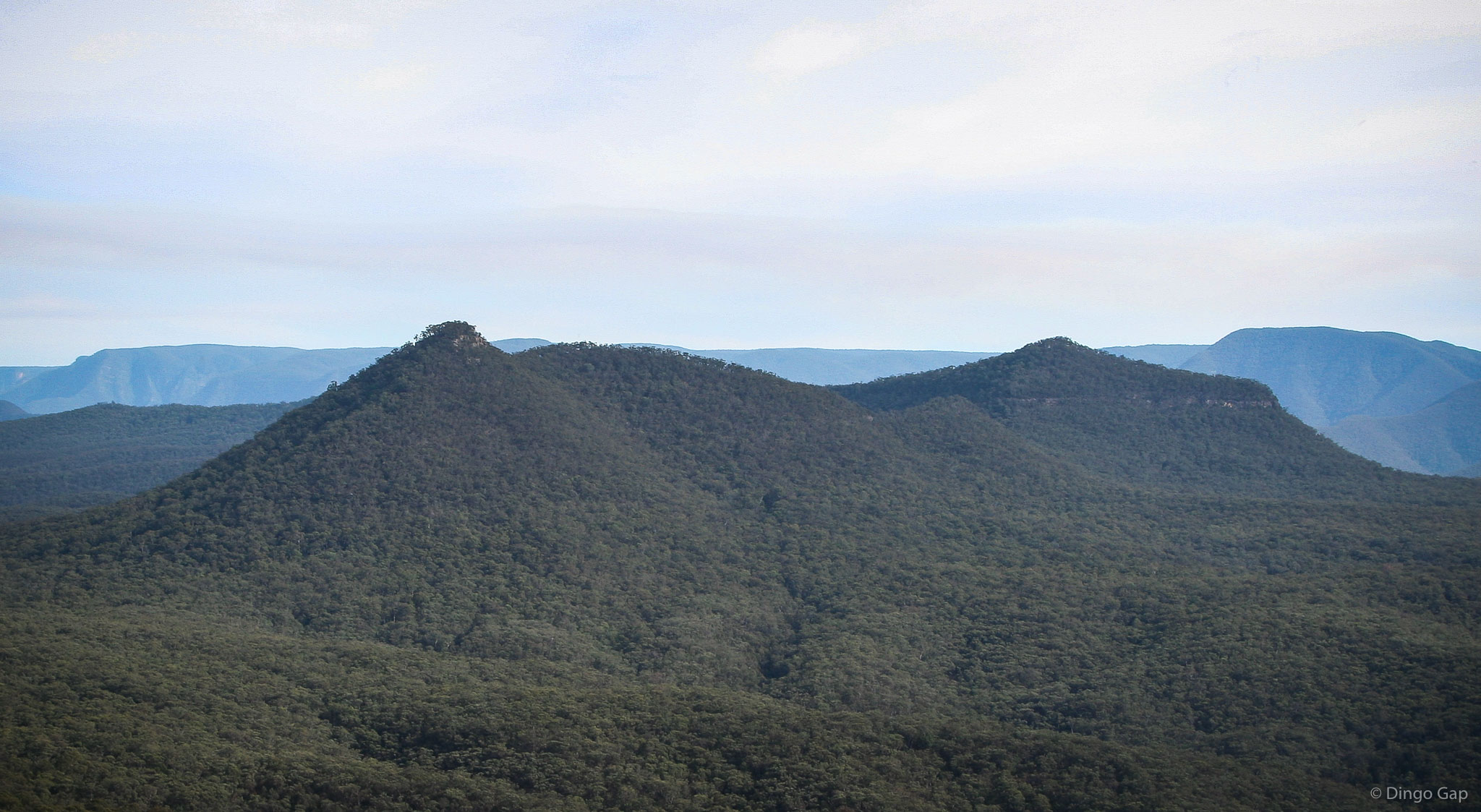
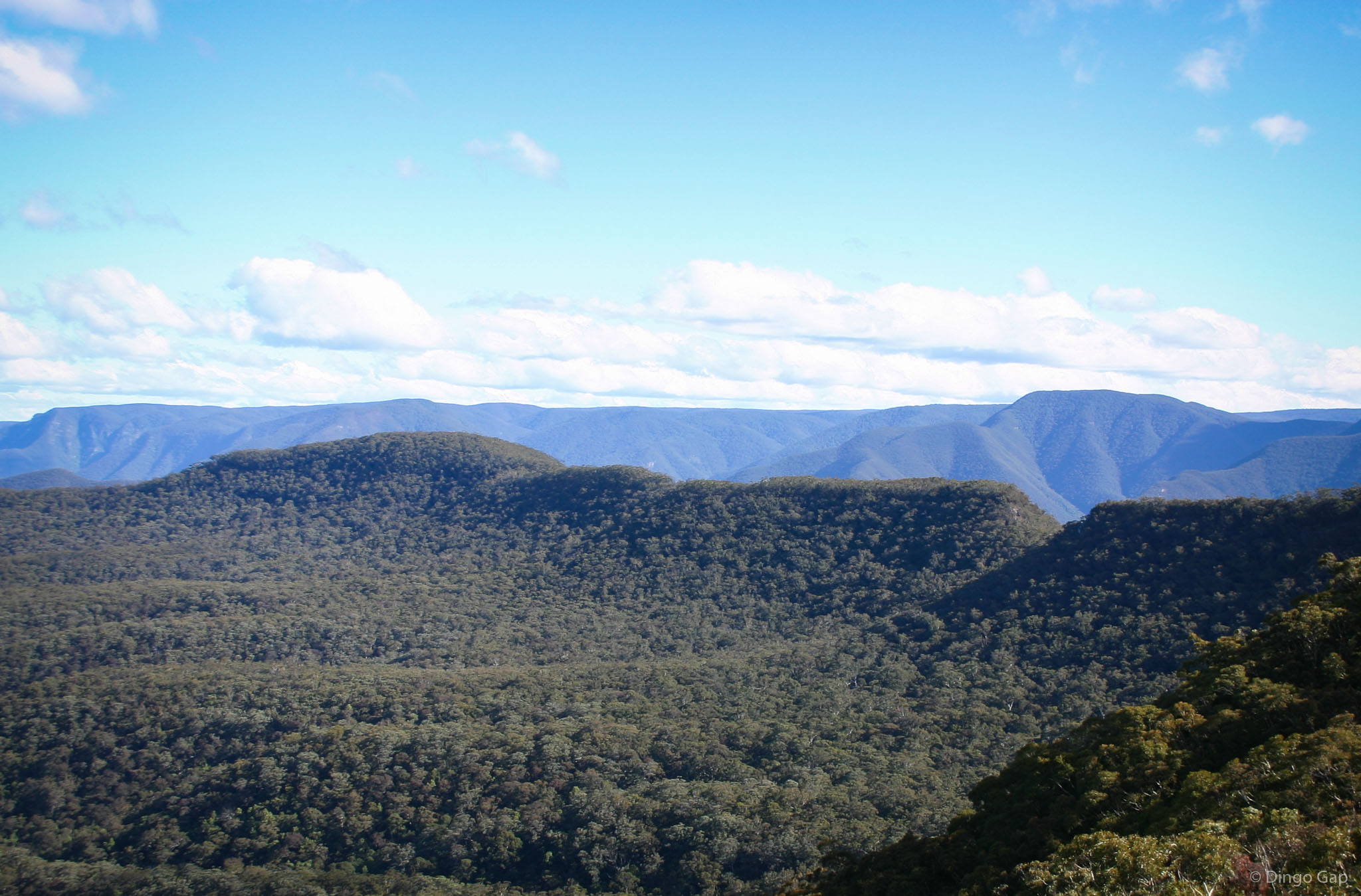
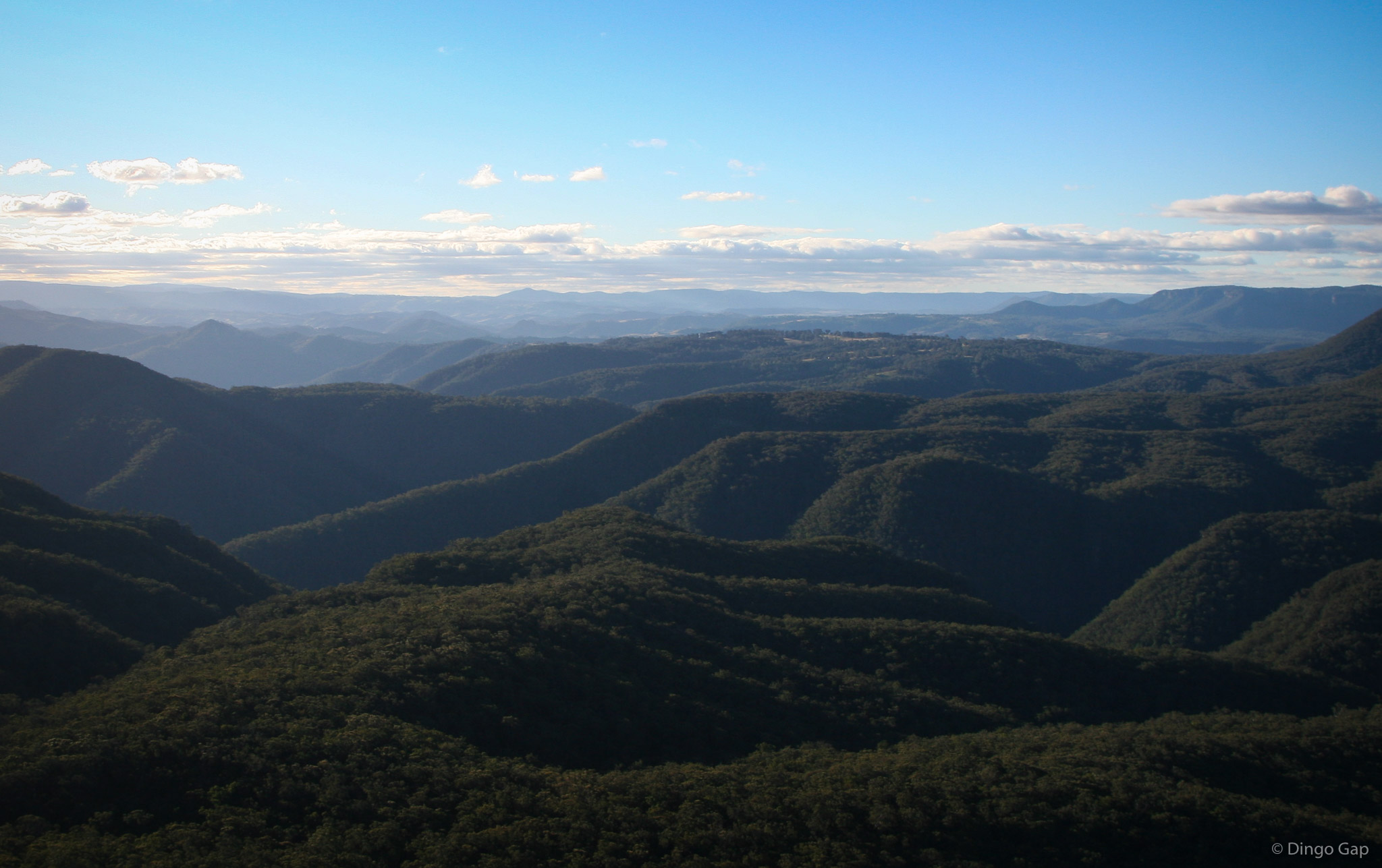
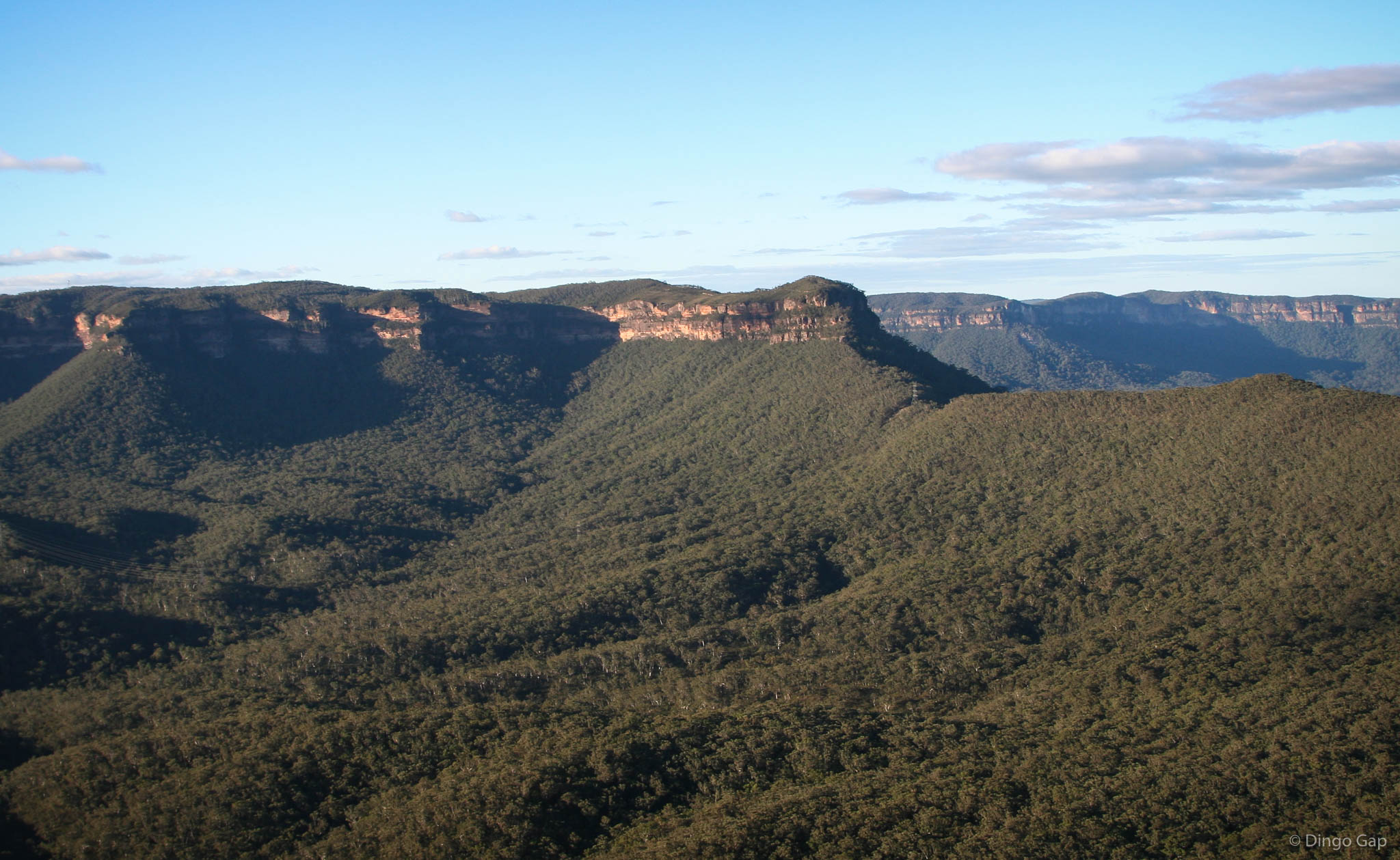
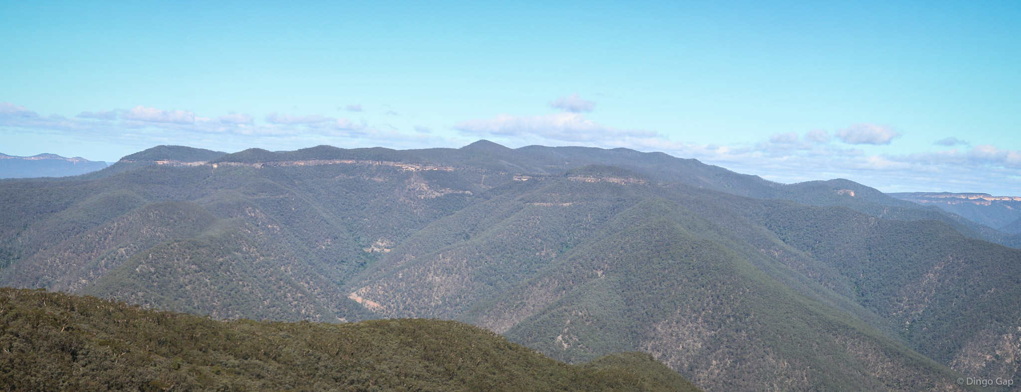
Wild Dog Mountains
The Wild Dog Mountains are located in the Blue Mountains, south of Katoomba, in an area bounded by Breakfast Creek to the north, Little Cedar Creek to the east, & the Coxs River to the west & south.
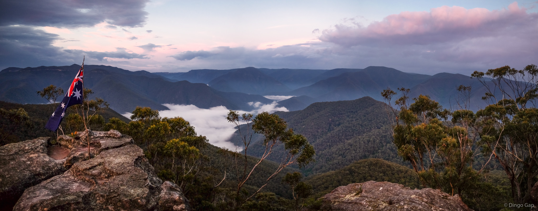
Mt Mouin, Mt Warrigal, Mt Merrimerrigal and Mt Dingo are at the heart of the Wild Dog Mountains. Other prominent land marks include Splendour Rock, Knights Deck and Mt Yellow Dog.
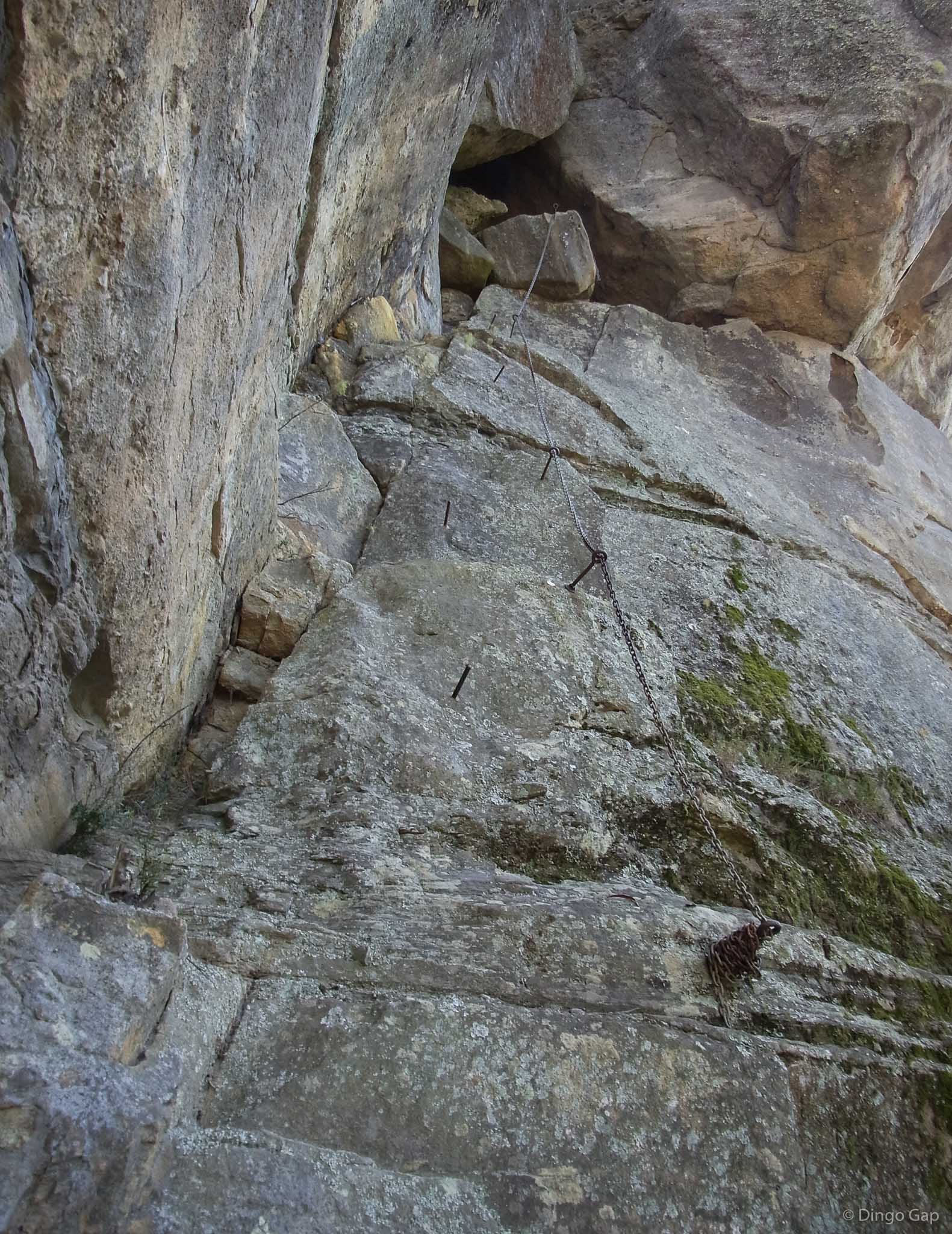
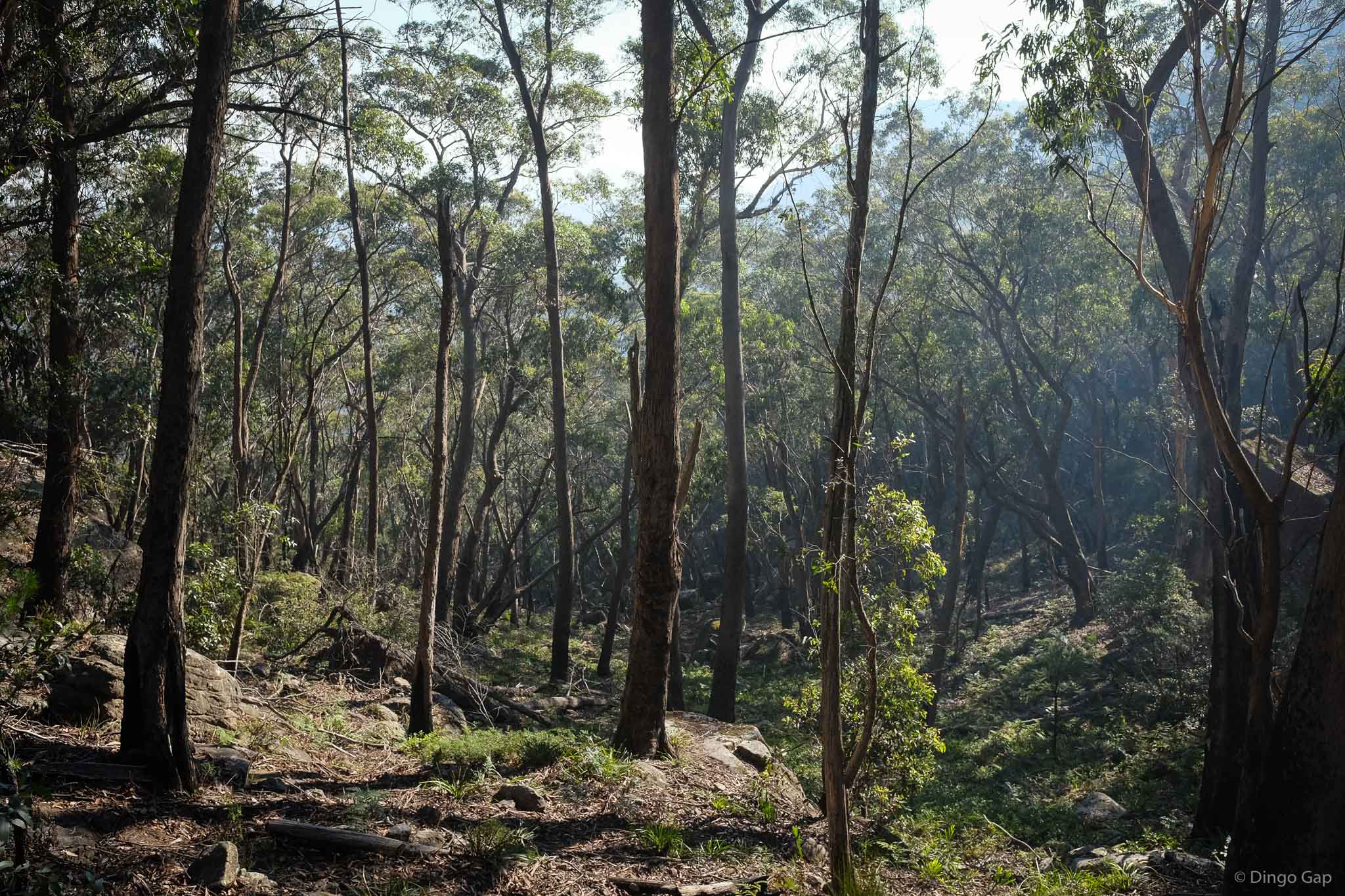
A large part of the Wild Dog Mountains to the east lies in the Warragamba Catchement Area. There is no public access to this area.
The names used in this region are attributed to Myles Dunphy, a bushwalker, cartographer & conservationist who produced a number of editions of the highly detailed Gangerang map between 1953 and 1976.
Jamison 8930-2N
960 metres
Mountain
Blue Mountains National Park (NSW)
Mouin
Cook