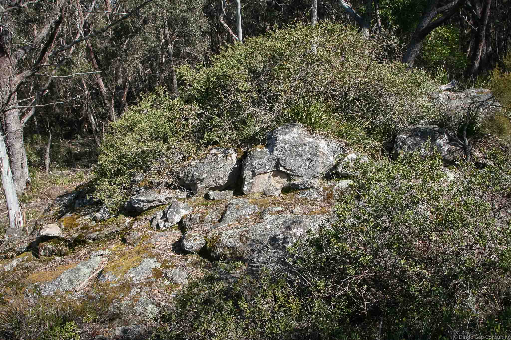
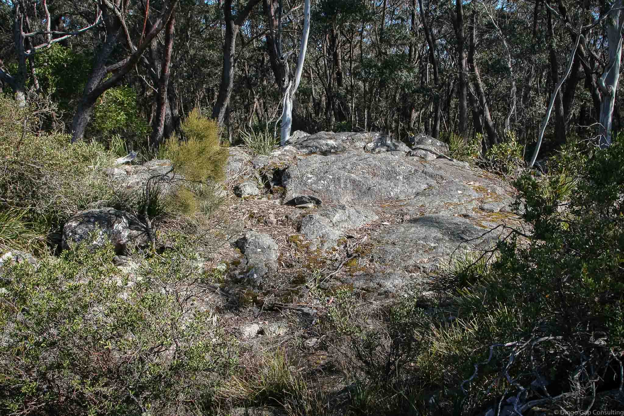
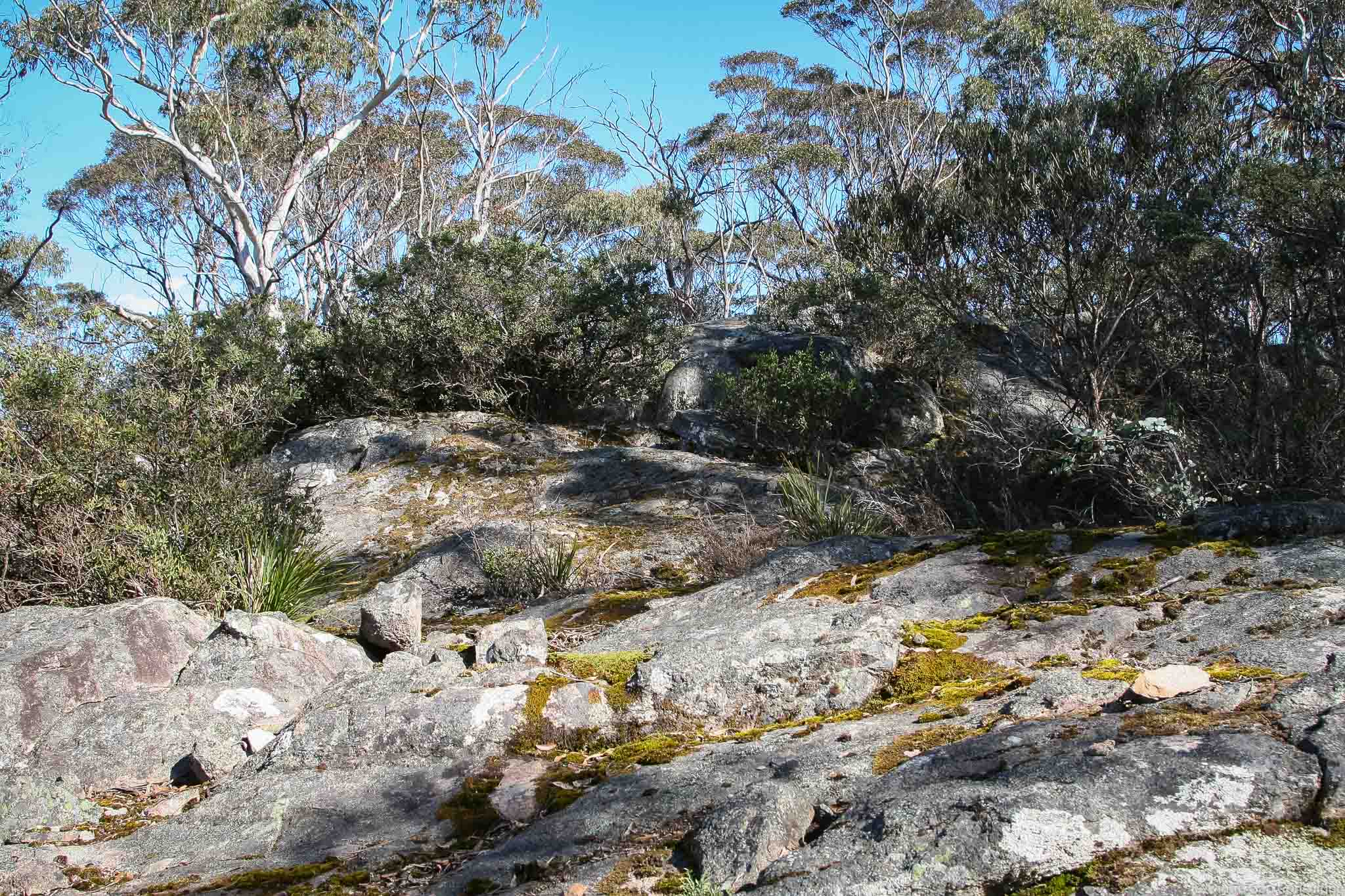
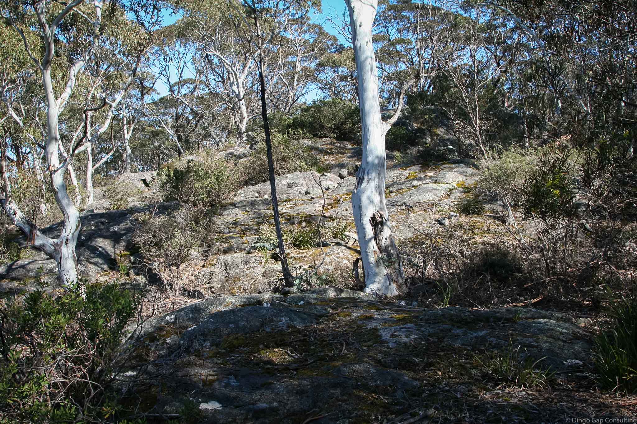
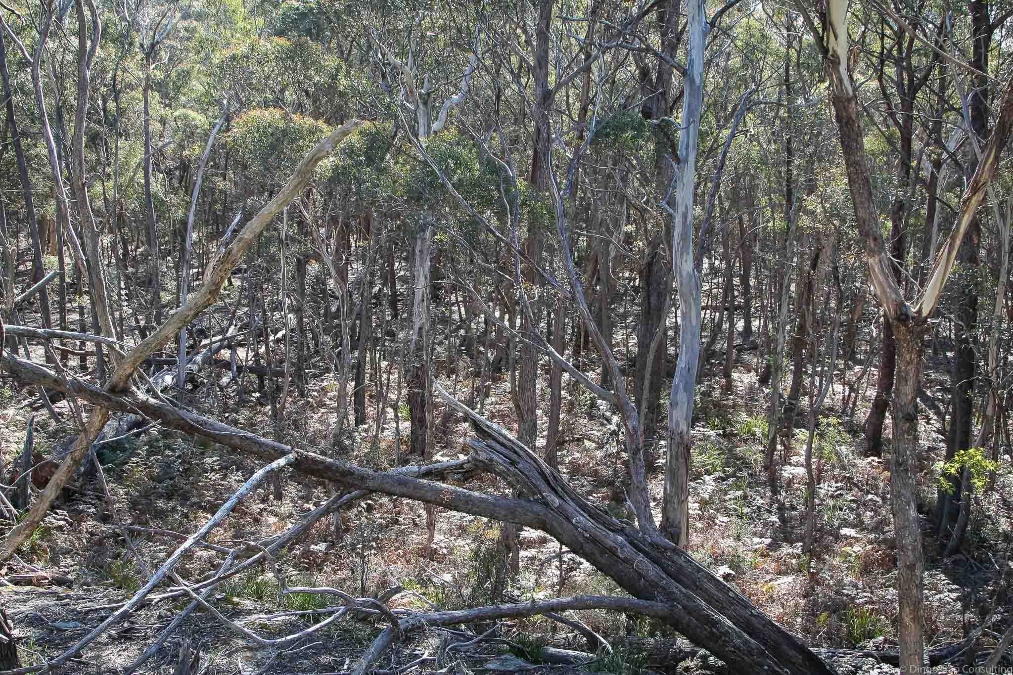
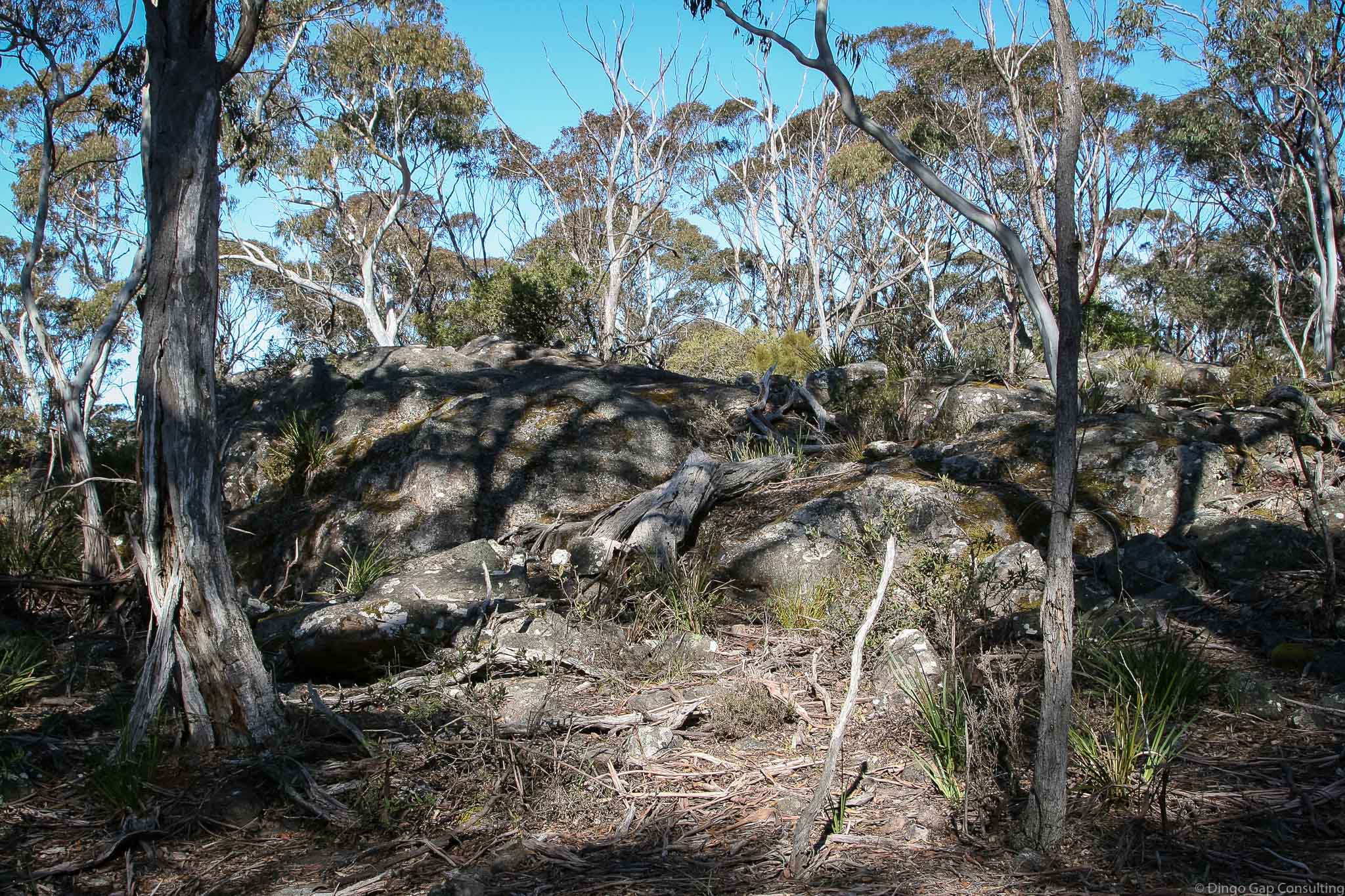
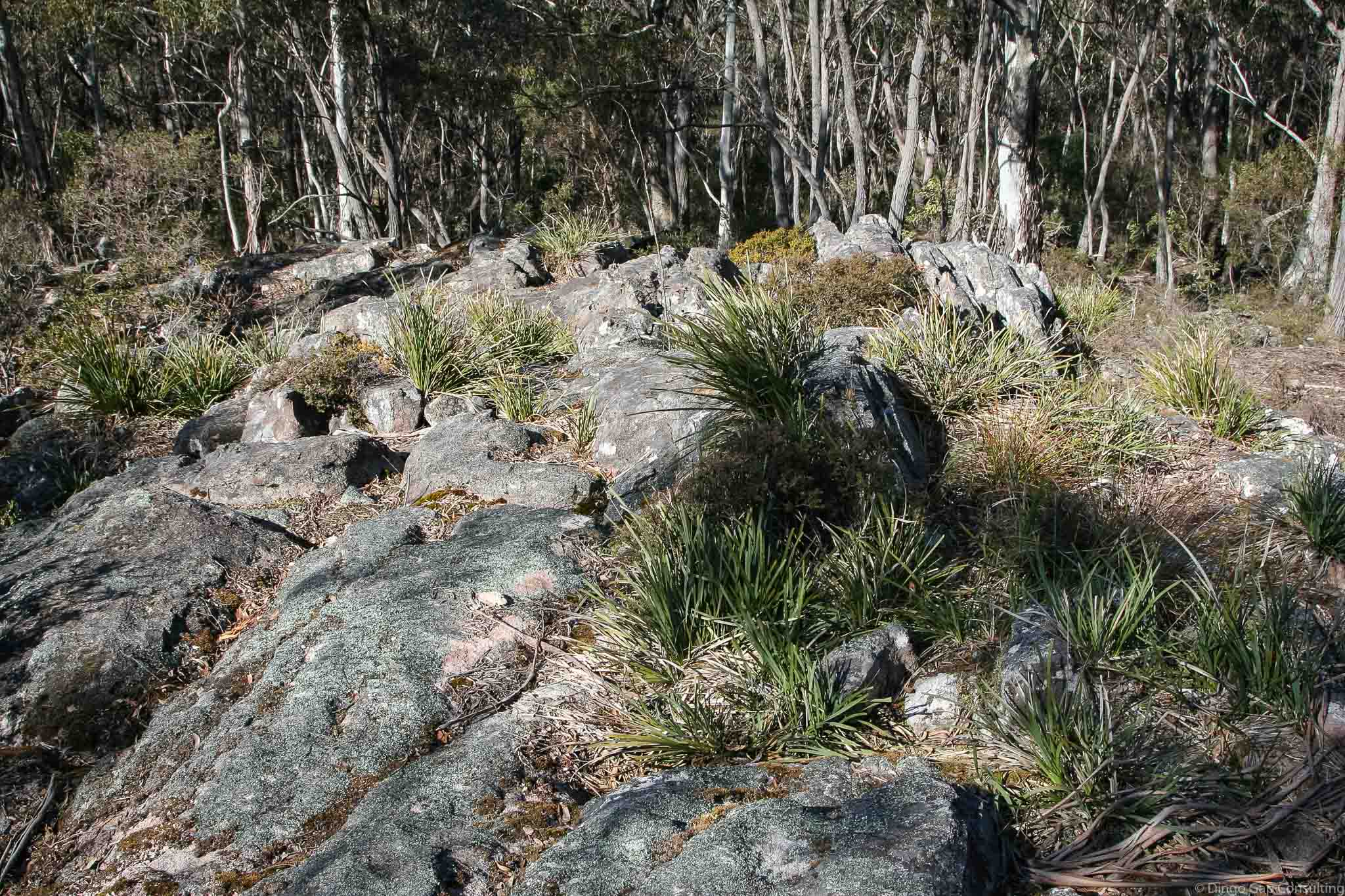
Lost Rock
Lost Rock is a large granite outcrop adjacent to the Uni Rover Trail, about 750 metres north north east of Mt Goondel.
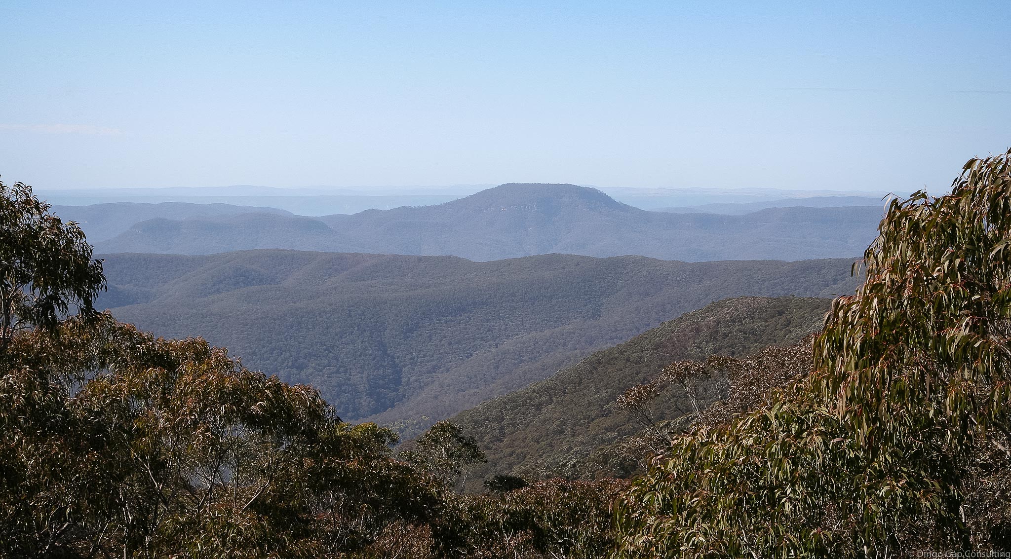
Views over the Kowmung River to Mt Colong are revealed to bushwalkers as they emerge from the forest at this spot.
On the Gundungura Map (1st Edition), Lost Rock is shown further north, just south from Hodges Swamp. The location identified on the Yerranderie and Kowmung Maps as Lost Rock is called Revelation Rock on the Gundungura Map (1st Edition). It is called Lost Rock on the 2nd & 3rd Editions of the Gundungura Map.
Kanangra Tops (Dunphy)
Kowmung (Dunphy)
Yerranderie 8929-4N
272 322
1170 metres
Revelation Rock
Rock
Kanangra-Boyd National Park (NSW)
Tartarus
Westmoreland
Last Updated: 04-01-2019